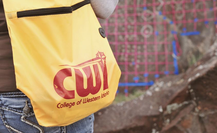
A story map featuring an overview and general findings of the Petroglyph Recording Project is complete and available to view. The five-year-long project was conducted by the Anthropology Club at the College of Western Idaho (CWI) in collaboration with Canyon County Parks, Cultural and Natural Resources from 2013 to 2017.
This map serves as a virtual scrapbook of dozens of students who were responsible for documenting and mapping petroglyphs located at two distinct sites along the Snake River Basin of Southwestern Idaho. Over the course of four field campaigns, students photographed, gridded, sketched, and mapped GPS coordinates of petroglyphs (images pecked into stone). Due to the sensitive nature of rock art, the exact locations of the petroglyphs are not made available to the public via the Story Map, however scholars or students interested in exploring this research further may contact Nikki Gorrell, Project Director and Assistant Professor of Anthropology at the College (contact info listed in the story map).
CWI Anthropology and Geography major, and May 2017 graduate, Kelsey Wilber, completed this story map as part of a work-study collaboration with Bryan Krouse and Nikki Gorrell. The final slide of the map includes a brief bio of Wilber. Her map has been presented at GIS Day, the CWI Connections Project, and the Society for Anthropology in Community Colleges (SACC) national meeting, where Wilber won an award for Academic Excellence.
View the story map here: https://arcg.is/i5DCv